
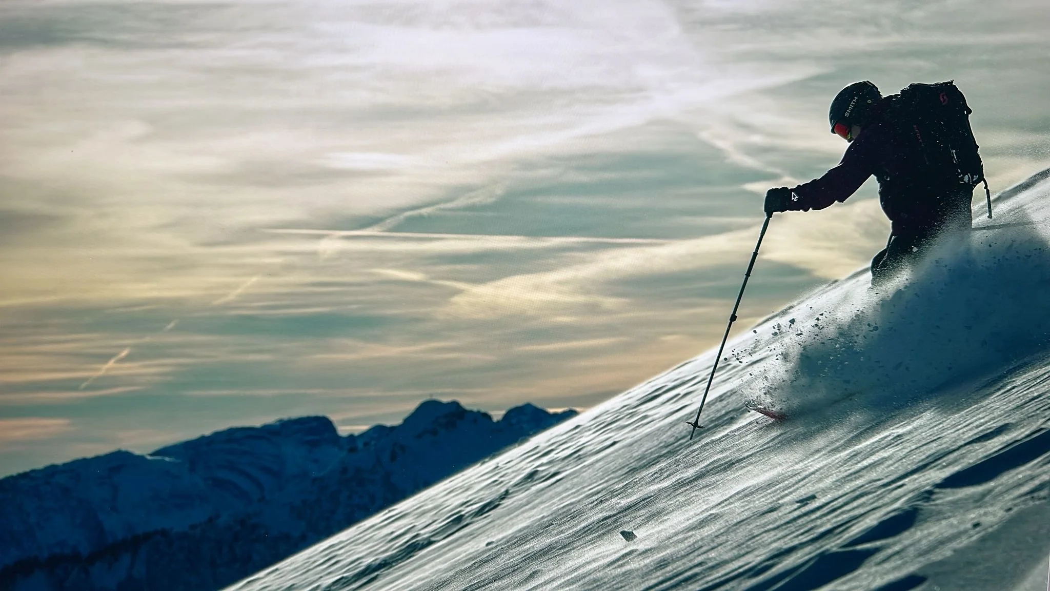
Early-season Alps action
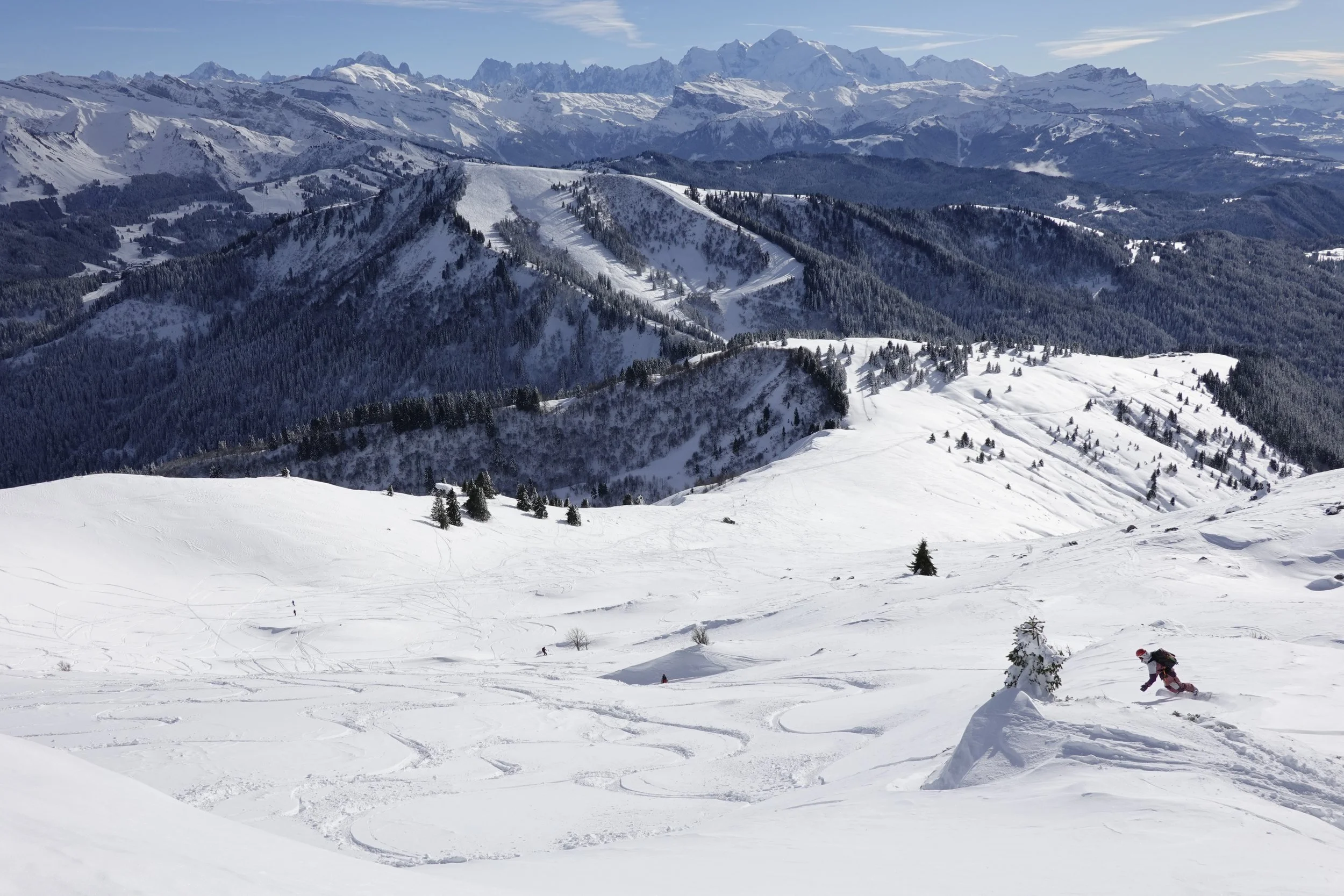
The Mont Blanc range, as seen from above L’Encrenaz, near Morzine.
Some of us London-dwellers had never skied the Alps in November - With this year’s early big dump and relatively stable cold temps though, it was time to down tools and dash under the channel to take advantage.
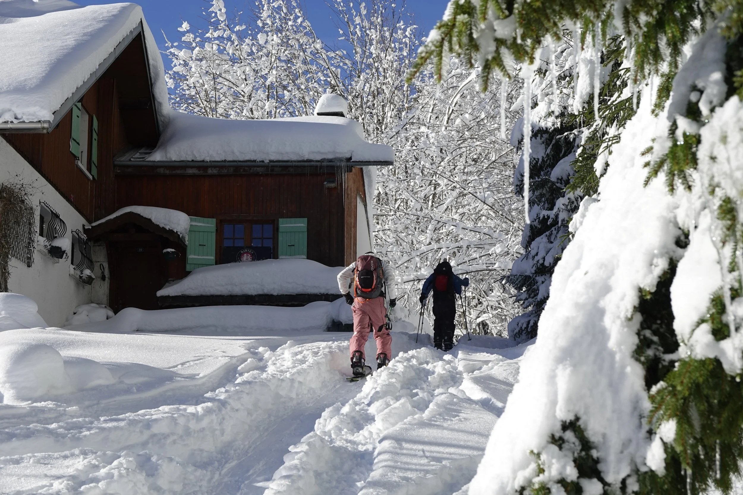
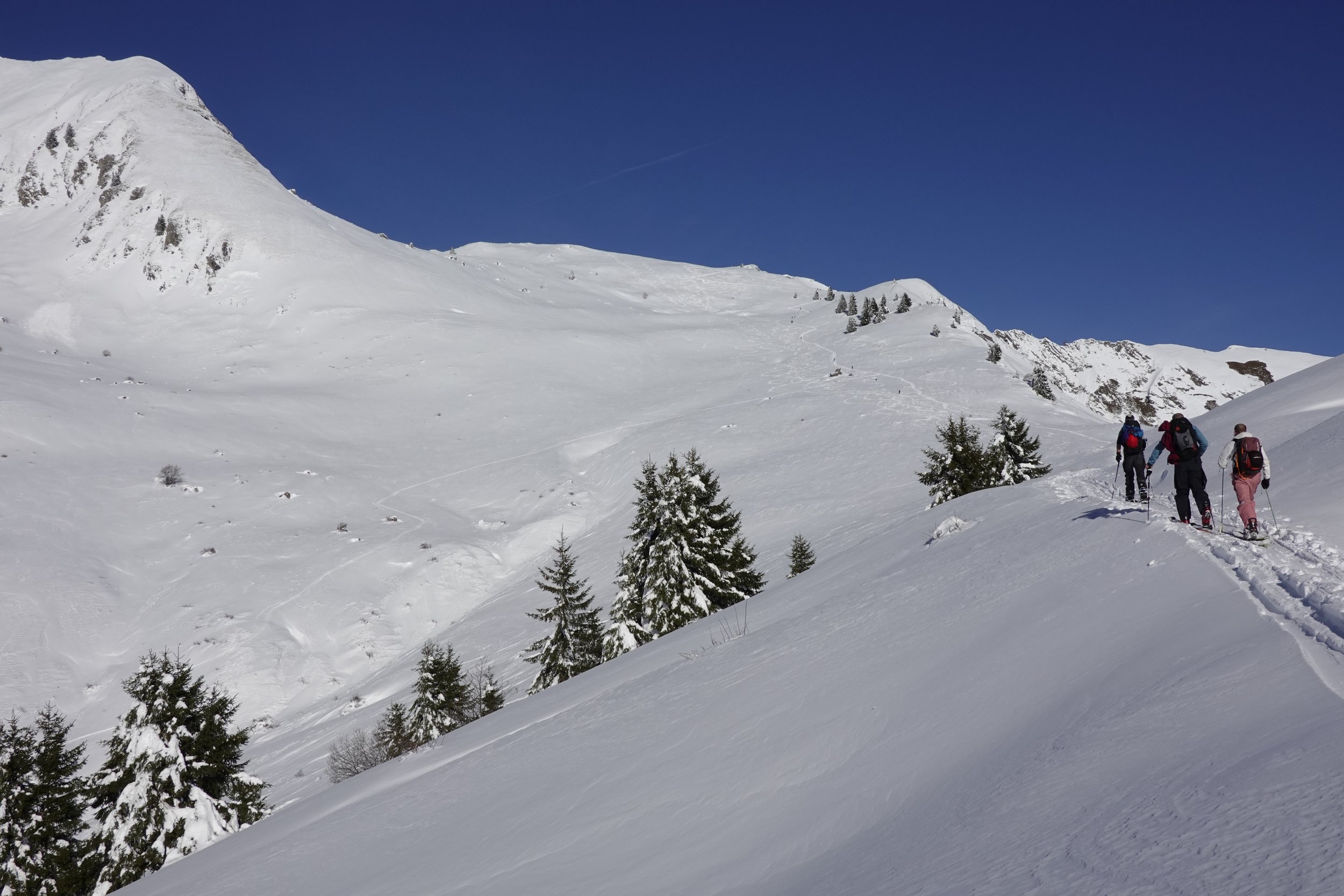
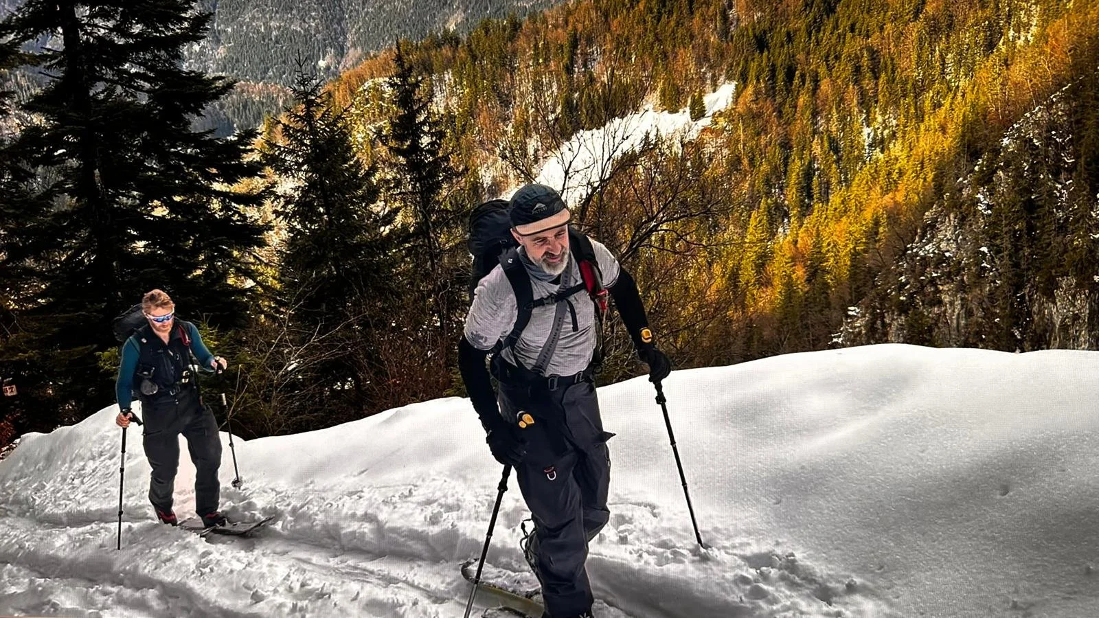
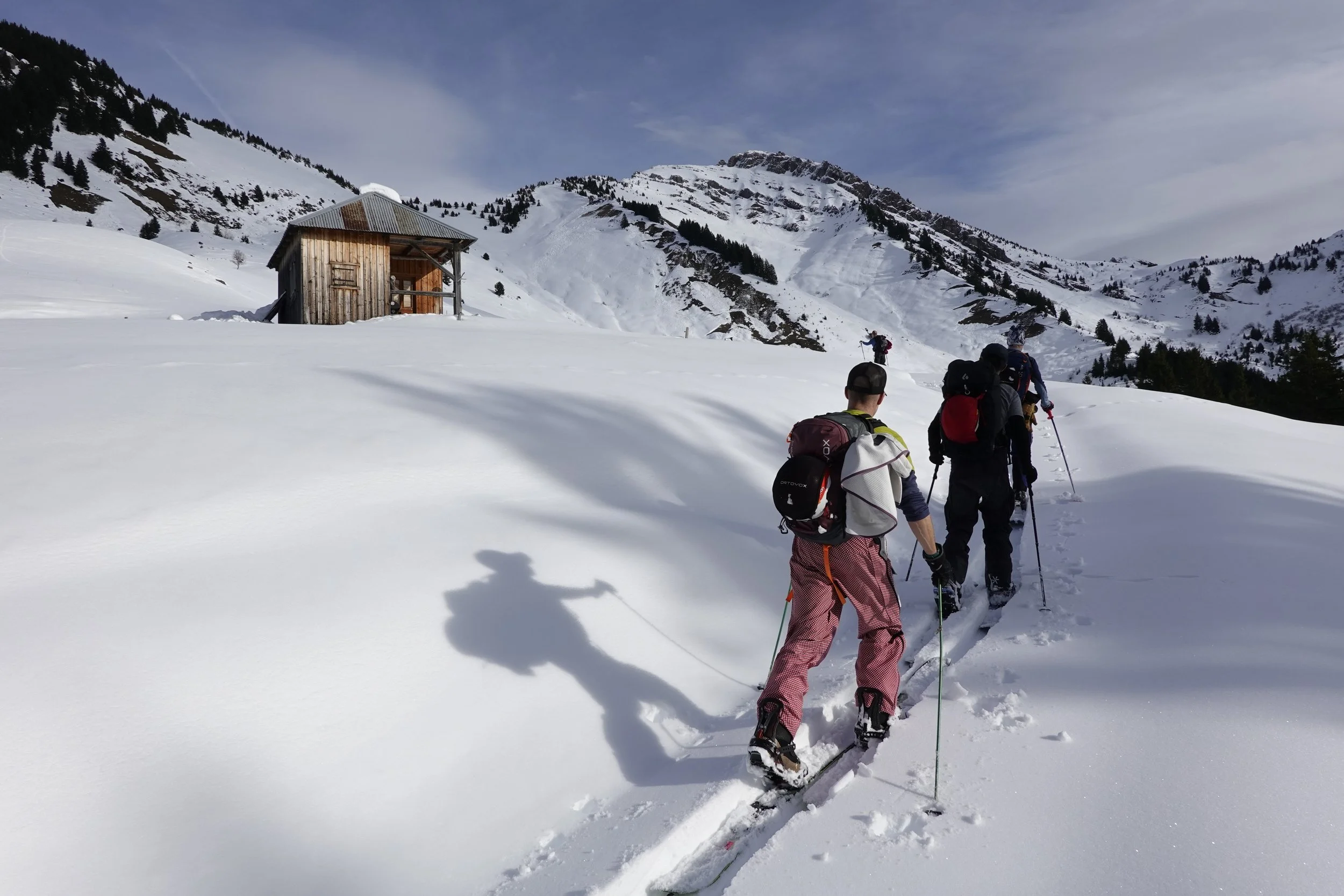
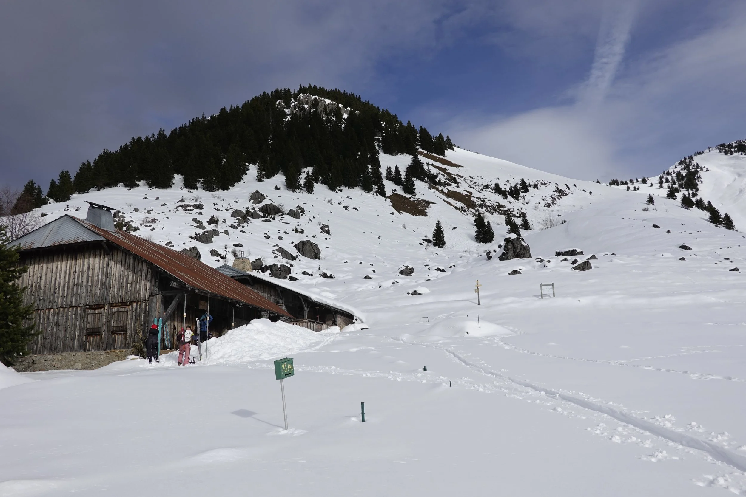
Climbig out of L’Encrenaz
Basing ourselves in the hamlet of Essert La Pierre, just outside Morzine, in the Portes du Soleil ski area, our goal was to check out some local touring.
Over 1.5m of snow was reckoned to have fallen there over the previous week, only just stopping as we arrived, and friends who live in the area said they were hiking on bare ground up to 2000m in places just 3 weeks ago, so not much of a solid base yet.
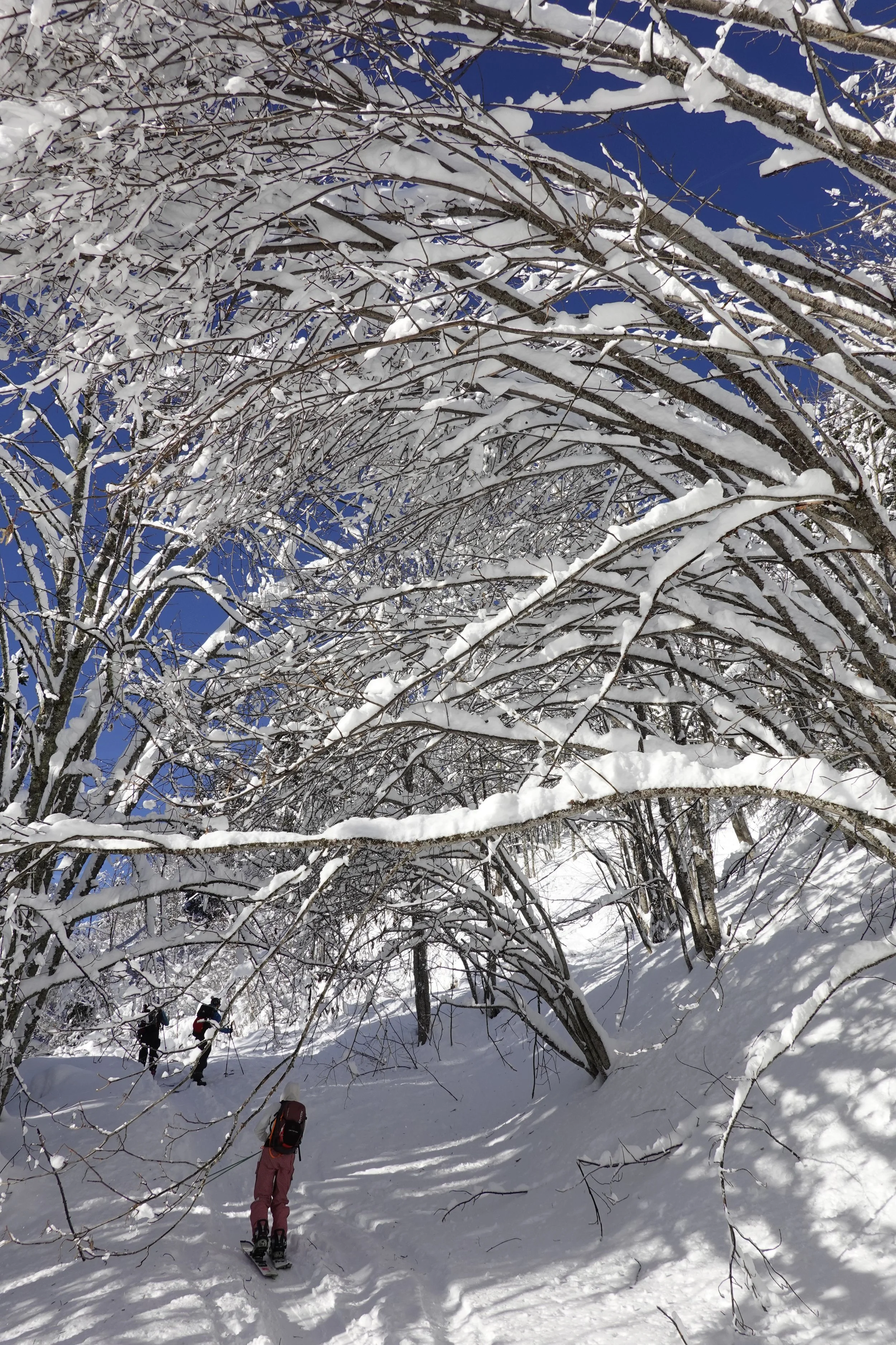
As our first outing for the season, we wanted to take it pretty easy and refresh ourselves in route-planning and on-mountain practices for touring.
Along with the avi forecasts for the area, we ended up mainly using two new tools to select some potential routes -
Skida - A mapping app aiming to fill the gap left by the swallowing up of Fatmap by Strava. Skida provides the two- and three-D mapping functions, along with slope and avalanche shading, satellite and basemap layers, which is expected of apps these days, but additionally shows a ton of ski-touring routes, graded by difficulty and avalanche exposure.
Skitourenguru - Currently a free website, with an app on the way. They are partly funded by the Petzl Foundation, along with some other big names in the ski world. Skitourenguru shows the same touring routes as Skida, but here each route is rated using their own algorithm, dynamically assessing each route using the local avi forecast and colouring sections of each route according to the avi risk for that part of it, and then given each route an overall avi-risk value. Quite amazing - it allowed us to filter out any routes above a particular avi risk value. It is a very, er, Germanic website (that’s not a diss by the way, just a comment on style!), with a ton of features to figure out - it has a choice of base-maps, does avalanche gradient shading and also has heat-maps showing where tourers have actually travelled.
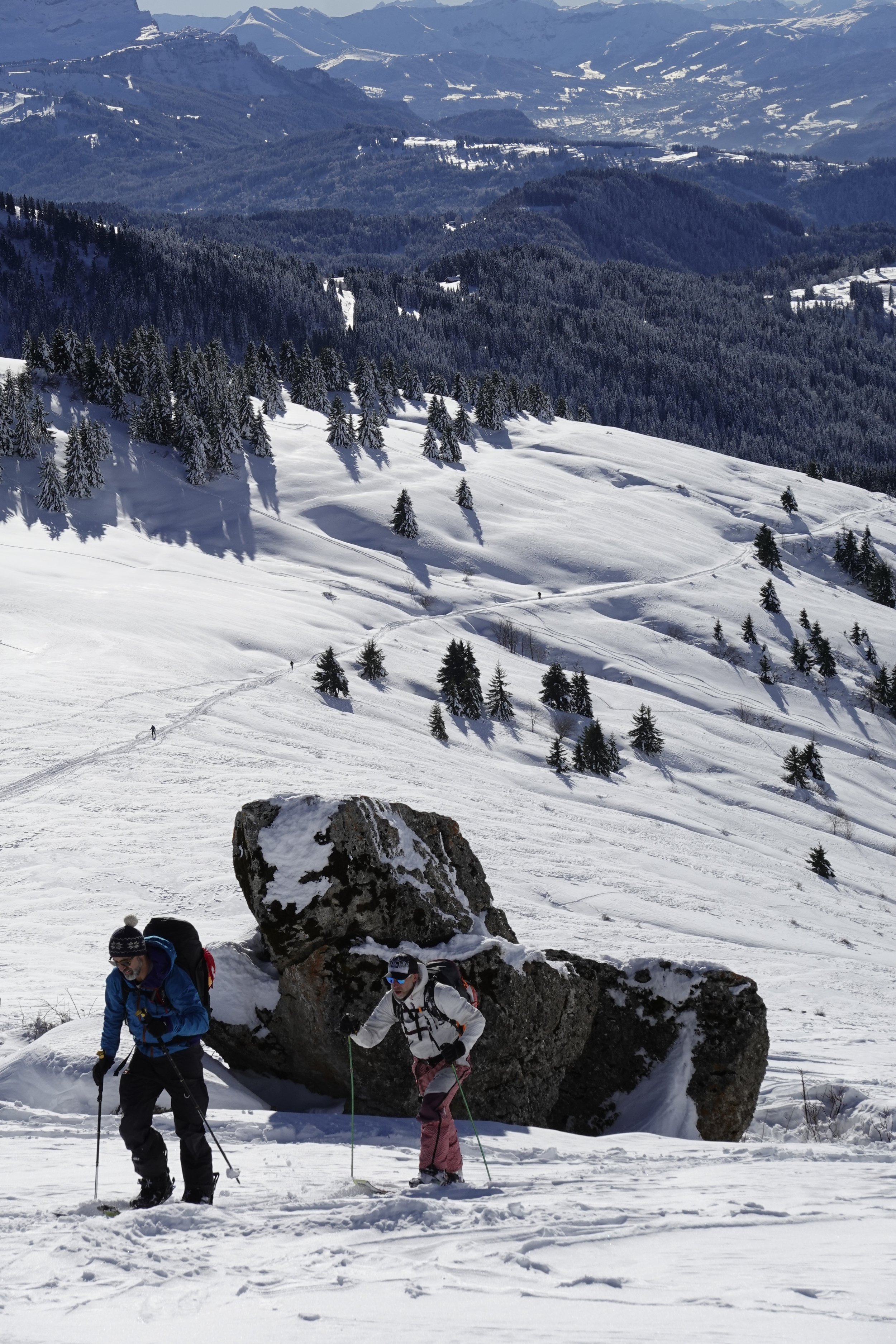
Great tools, and using those we settled on a couple of low-avi-risk routes nearby to check out.
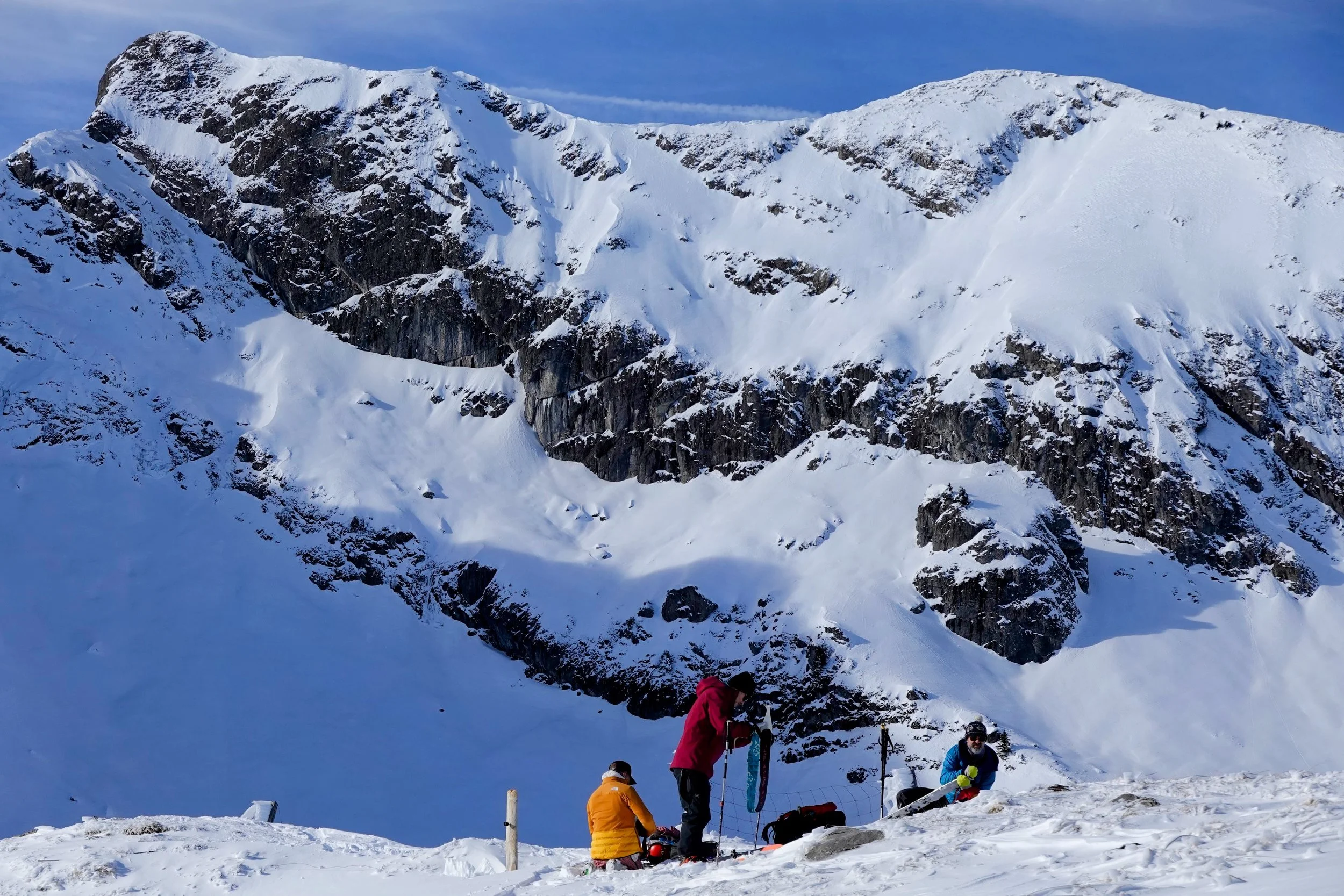
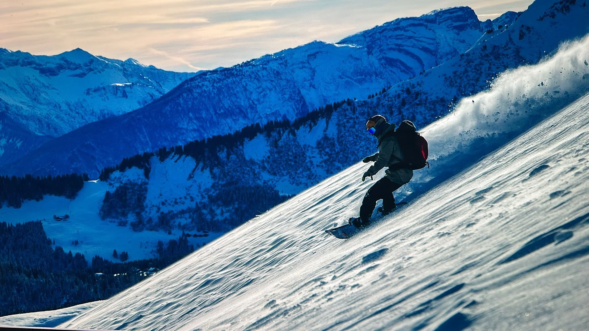
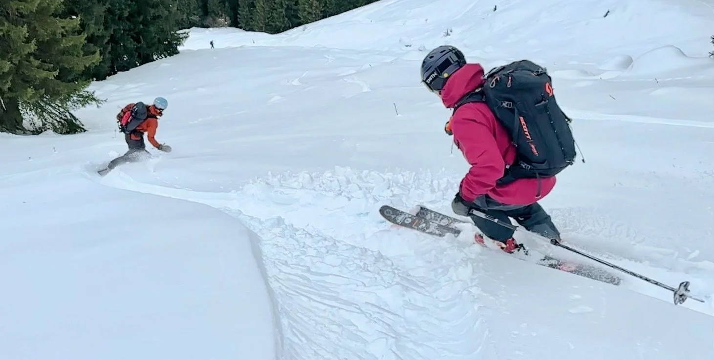
The first route turned out to be bomber all the way, and down, with the best snow actually pretty low down around the 1500m mark - a lovely wind-shaded, NW-facing lightly-forested slope of almost champagne pow….
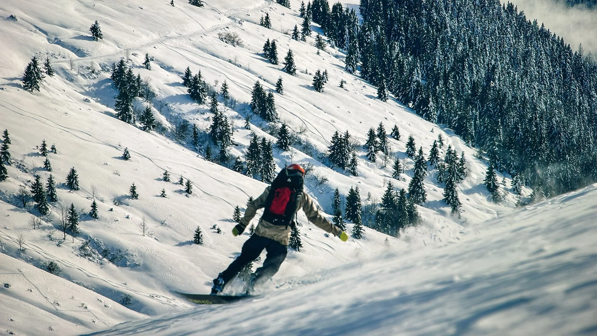
The following day we did actually sneak in a cheeky lift-riding day at Avoriaz - who’d say ‘no’ to a €24.50 day-pass at Avoriaz, with fresh pow lines of offer??, but returned for touring for our last day. In warmer temps, our second route needed a lot more thinking about once we got onto it. We could feel the snow transforming on the way up, and when we got above the tree line we could see a ton of glide avalanches, on all aspects, where it had slid right down to the grass and rock underneath. That type of avi apparently isn’t usually human triggered, but there were so many that we didn’t want to be caught below one if it decided to let go, so we actually cut short the climb about 200m vert from the top of the pass. Dissappointing, but we all felt good about the decision and were rewarded with a gorgeous spring-snow meadow run choc full of fun little bumps and features.

Such a great start to this northern winter season - let’s hope it continues ! If you are able to get out there yourselves, don’t forget: Ride, Connect, Stay safe.